Mt. Hachijo-Fuji
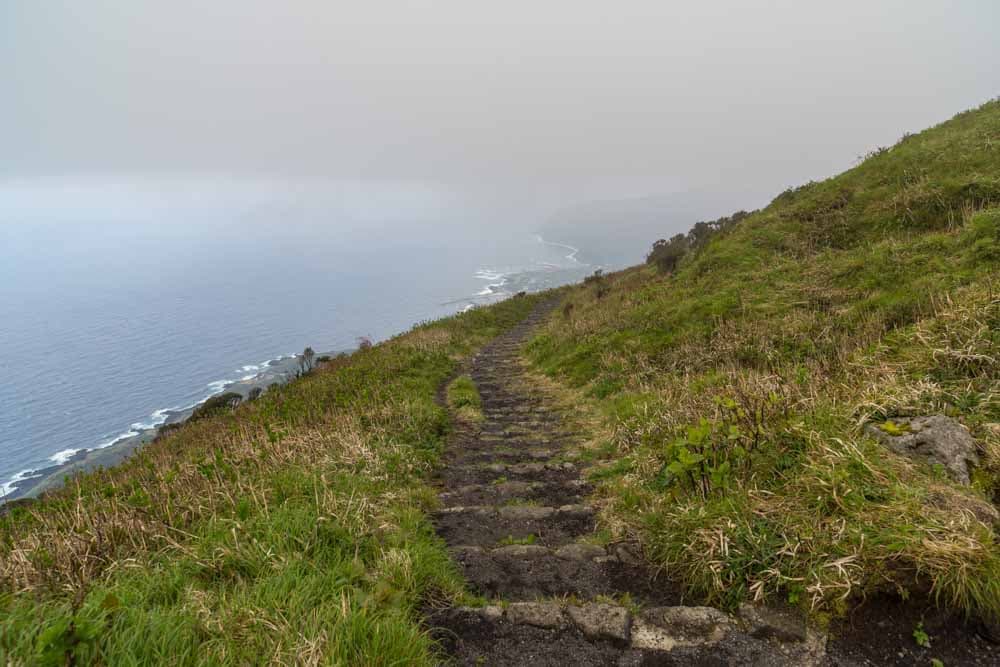
Rising 854 meters above the Pacific, Mount Hachijo-Fuji is a nearly perfect stratovolcano on the northern side of the island. The primary hiking route begins from a trailhead located along the mountain’s seventh-station ring road. This ascent is famous for its 1,280 stone steps that lead directly to the crater rim, a climb that typically takes between 45 to 60 minutes. The effort is rewarded with a spectacular 360-degree panorama of Hachijojima, the surrounding ocean, and the neighboring island of Aogashima on clear days.
Once at the summit, hikers can follow the Ohachimeguri path, which circles the jagged circumference of the massive crater. This rim walk provides a unique perspective of the volcano’s interior, which is filled with a dense, prehistoric-looking forest and a small hidden shrine. The weather at the peak can be unpredictable, with fog often rolling in during the afternoon, so an early morning start is recommended. Because the trail is steep and the crater rim consists of uneven volcanic rock, sturdy footwear and wind protection are essential for a safe exploration of the summit.
| Access Information | ||
|---|---|---|
| Method | Transport | Access Details |
| Rental Car / Taxi | Ring Road | Drive up from the town toward the Hachijo-Fuji Ring Road. Turn right at the T-junction; the parking area is roughly 500m on the left. |
| Walking | From Town | A significant uphill hike (approx. 60–90 mins) from the base of the mountain to reach the trailhead at the 7th station. |
| Note | Public Bus | There is no public bus service that reaches the trailhead; private transport is highly recommended. |